The Marine and Coastal Hub has developed a suite of internationally endorsed best practices to ensure that data collected by marine sampling platforms at different times and places across Australia are directly comparable.
The Marine Sampling Field Manuals for Monitoring Australia’s Marine Waters support the national-scale monitoring and observing of Australia’s marine environment while also connecting to global initiatives through the Ocean Best Practices System. With more than 228 contributors from 76 agencies, the manuals include information on marine survey design, pre-survey planning, gear deployment and retrieval, and data management. They provide consistent, defensible methods for collecting data that can be compared with other regional and national collections and are endorsed by researchers, managers, and technicians from multiple agencies with a variety of experience and subject-matter expertise.
For more information about the field manuals and their benefits, see this story: Marine sampling field manuals support biodiversity monitoring at a national scale.
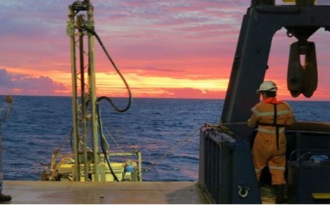
1. Introduction
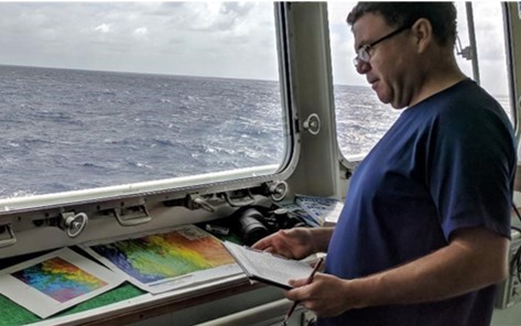
2. Survey Design
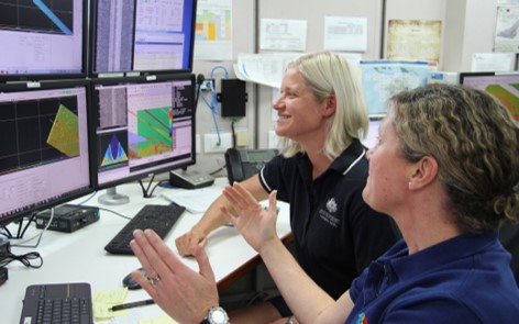
3. Multibeam Echosounder
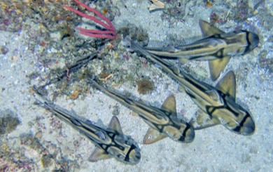
4. Autonomous Underwater Vehicles
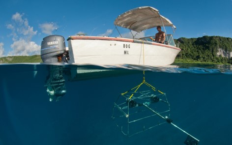
5. Benthic Baited Remote Underwater Video
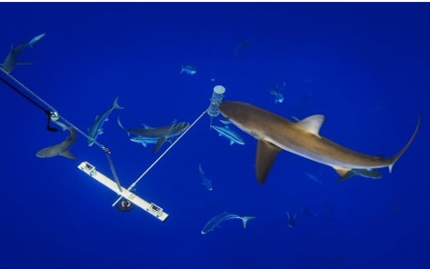
6. Pelagic Baited Remote Underwater Video
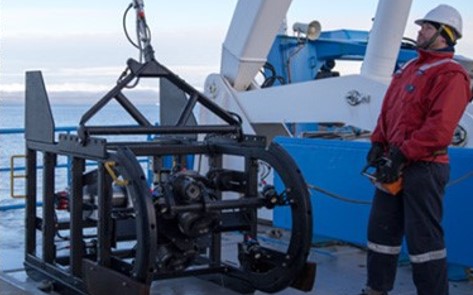
7. Towed Imagery
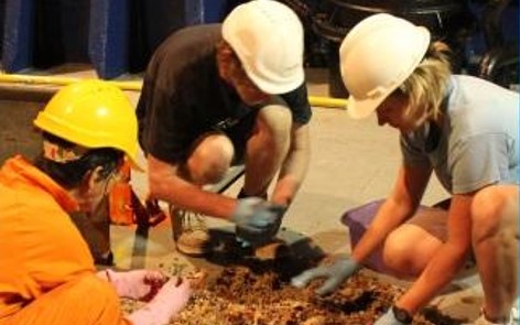
8. Sleds & Trawls
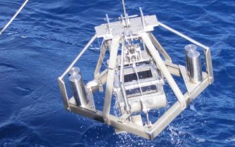
9. Grabs and Box corers
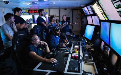
10. Remotely Operated Vehicles
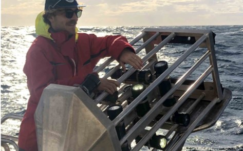
11. Benthic Observation Survey System (BOSS)
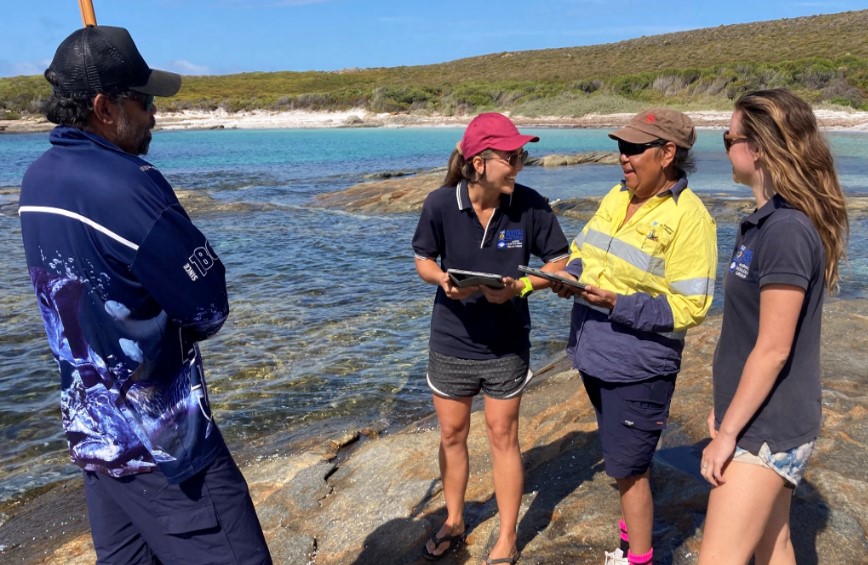
12. Knowledge, Attitude and Practice Surveys
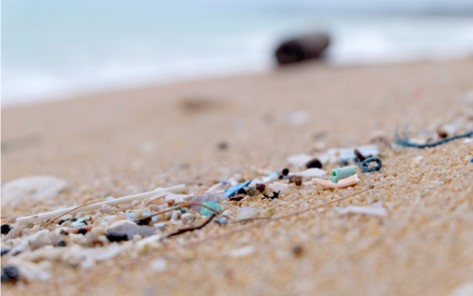
13. Microplastics
Workflows
Downloads
The field manuals can be downloaded as individual chapters by clicking on the links above or in their entirety below.
Related Guidelines and Best Practices
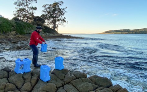
Environmental DNA Biomonitoring

National Guidelines for the Survey of Cetaceans, Marine Turtles and the Dugong
CATAMI image annotation scheme
Code of Ethics for Aboriginal and Torres Strait Islander Research
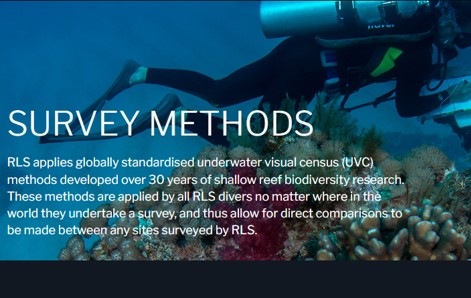
Underwater Visual Census RLS
Underwater Visual Census AIMS
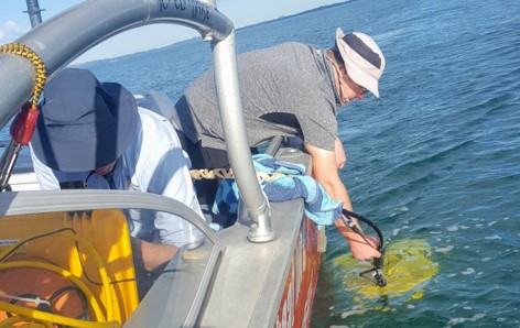
Sub-bottom Profiler Guidelines
IMOS Protocols


